Software:

Prescribed Burning Atlas

The Prescribed Burning Atlas provides a comprehensive, formal estimation of risk to key human and environmental values to support prescribed burning strategies across southern Australia.

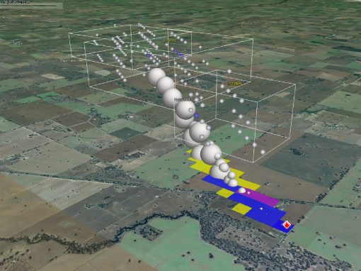
Prescribed burning is used by fire managers to alter the amount of fuel in the landscape to reduce the intensity, rate of spread and size of subsequent unplanned fires. The aim of this is to reduce the risk of wildfire impacting key human and environmental values.

The Atlas systematically investigates how risk to these values will respond to variations in the spatial location and rates of prescribed burning treatment. It provides a comprehensive and formal estimation of risk which allows users the ability to understand the likely cost, benefits and overall risk reduction for landscapes from burning activities. This means the Atlas can act as a learning and planning support tool by allowing fire managers to compare the outcomes of different prescribed burning strategies (i.e comparing strategies that incorporate combinations of landscape and edge-based burning approaches) and supports the implementation of customised prescribed burning strategies to suit the biophysical, climatic and human context of bioregions across south-eastern Australia.

This project was funded by the Bushfire & Natural Hazards Cooperative Research Centre and developed in collaboration with the University of Wollongong and Western Sydney University with the team at FLARE.

Projects that have applied our software

Restoration of eucalypt forest in Wilsons Promontory National Park- Implications for forest values and site and landscape flammability

Wilsons Promontory provides an example of how repeated short interval fires can prevent the regeneration of a Eucalyptus canopy in a range of ecological vegetation classes. The ‘destocking’ of forests can dramatically alter the composition, ...

Firebrand ignition of building materials

Firebrands are small, often smoldering embers which break off of vegetative or structural materials during wildland fires and can loft up to several kilometers ahead of the main fire front, igniting new spot fires. They have been found to be ...

Understanding the origin and development of extreme and mega bushfires

Extreme and megafires result in significant damage to property and infrastructure and are associated with large suppression costs. These events form when separate fires merge. Their increase occurrence in recent seasons highlights the ...

Our other software

The Landscape Decision Support System (DSS)

The Landscape Decision Support System (DSS)

The DSS will assist land managers and communities to explore potential changes in multiple landscape values associated with fire regimes, changing climate, and alternative management practices.
Photon

Photon

PHOTON is a testing framework software for robust comparisons of multiple versions of PHOENIX Rapidfire or newly derived datasets.

Calling for PhD Candidates…

X